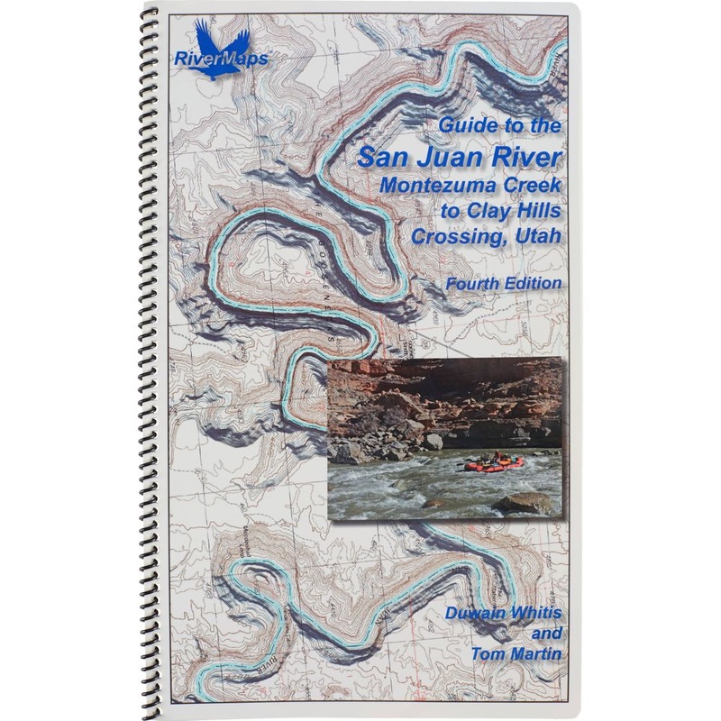
The RiverMaps Guide to the San Juan River, Montezuma Creek to Clay Hills Crossing, Utah,is a must have for any trip down themighty San Juan in Utah. This guide covers 84 miles of the San Juan River from Montezuma Creek to Clay Hills Crossing, including the
![]()
The RiverMaps Guide to the San Juan River, Montezuma Creek to Clay Hills Crossing, Utah,is a must have for any trip down themighty San Juan in Utah. This guide covers 84 miles of the San Juan River from Montezuma Creek to Clay Hills Crossing, including the Upper San Juan from Bluff to Mexican Hat (27 river miles) and the Lower San Juan from Mexican Hat to Clay Hills (58 river miles).
Bonus: If the map gets wet, don’t worry! It can stay wet without damage. The pages usually won’t stick but you may need to air dry each page or wipe with a dry rag. You can write on dry plastic pages with an indelible marker. Entire guidebook is waterproof and tear resistant but not indestructible.

Reviews
There are no reviews yet.