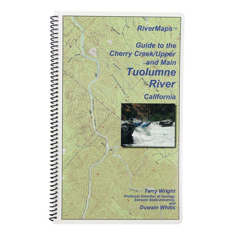
The RiverMaps Guide to Cherry Creek / Upper and Main Tuolumne River, California is essential for planning and discovering the24 (8 / 18) miles of the"T", a premier North American whitewater experience."Go with the flow" map orientation for easy reading and
![]()
The RiverMaps Guide to Cherry Creek / Upper and Main Tuolumne River, California is essential for planning and discovering the24 (8 / 18) miles of the”T”, a premier North American whitewater experience.
Bonus: If the map gets wet, don’t worry! It can stay wet without damage. The pages usually won’t stick but you may need to air dry each page or wipe with a dry rag. You can write on dry plastic pages with an indelible marker. Entire guidebook is waterproof and tear resistant but not indestructible.

Reviews
There are no reviews yet.