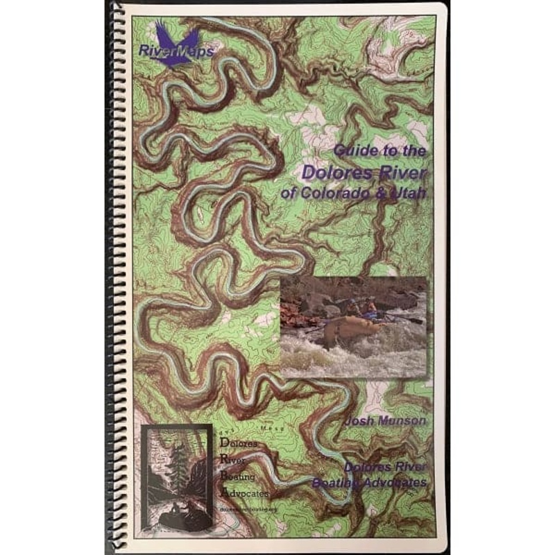
The RiverMaps Guide Book to the Lower Dolores River is the go-to mile-by-mile guide for planning a trip and navigating the Dolores River corridor. This guidebook covers 175 miles of theDolores Riverfrom the put-in at Bradfield, CO, to Dewey Bridge, UT."Go
![]()
The RiverMaps Guide Book to the Lower Dolores River is the go-to mile-by-mile guide for planning a trip and navigating the Dolores River corridor. This guidebook covers 175 miles of theDolores Riverfrom the put-in at Bradfield, CO, to Dewey Bridge, UT.
Bonus: If the map gets wet, don’t worry! It can stay wet without damage. The pages usually won’t stick but you may need to air dry each page or wipe with a dry rag. You can write on dry plastic pages with an indelible marker. Entire guidebook is waterproof and tear resistant but not indestructible.
Reviews
There are no reviews yet.