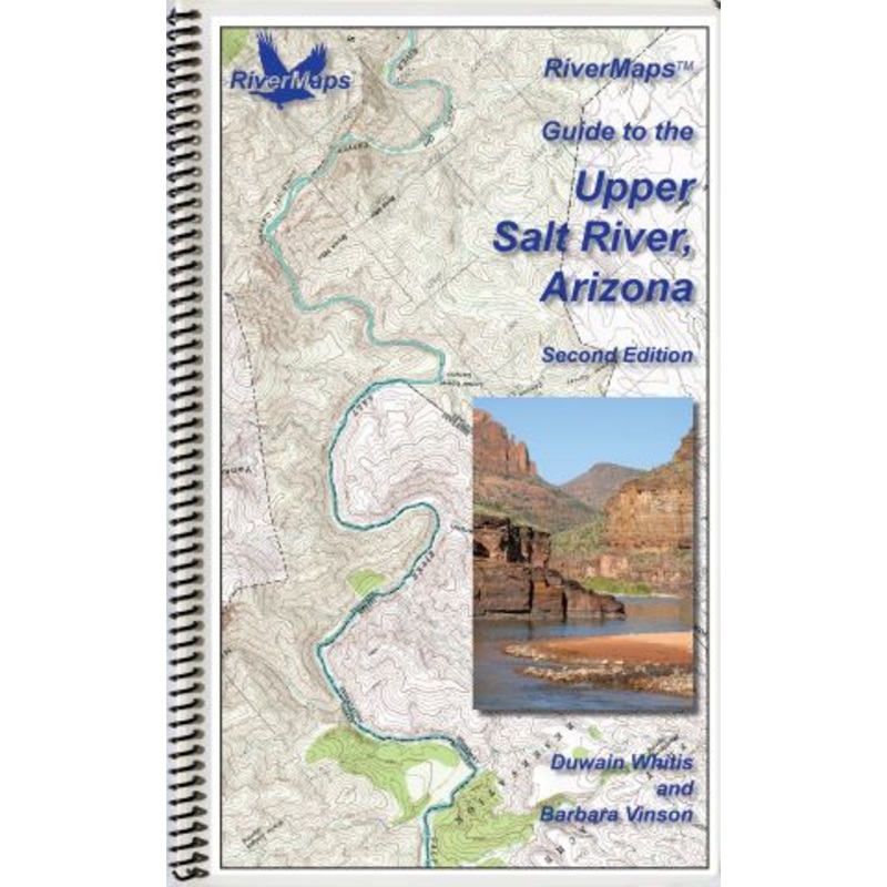
The RiverMaps Guide to the Upper Salt Riverguidebook in the Salt River Canyon Wilderness, Arizona, covers 53 river miles from the put-in at Hwy 60 bridge to the take-out at Hwy 288."Go with the flow" map orientation for easy reading and downstream interpre
![]()
The RiverMaps Guide to the Upper Salt Riverguidebook in the Salt River Canyon Wilderness, Arizona, covers 53 river miles from the put-in at Hwy 60 bridge to the take-out at Hwy 288.
Bonus: If the map gets wet, don’t worry! It can stay wet without damage. The pages usually won’t stick but you may need to air dry each page or wipe with a dry rag. You can write on dry plastic pages with an indelible marker. Entire guidebook is waterproof and tear resistant but not indestructible.

Reviews
There are no reviews yet.